Geoheritage
Find out more about the rich geological history of the Western Cape
Preserve and protect
Geoheritage aims to capture, preserve, interpret and promote the essence of South Africa’s distinctive landscapes which are united by geology, topography, culture and history, thereby creating inspirational destinations which transcend internal and international borders.
The Geoheritage Group works with government, communities, NGOs, the private sector and other key stakeholders to promote and protect South Africa’s geological heritage, while also supporting education and tourism opportunities linked to geology and landscapes.
Geoheritage includes South Africa’s iconic and unique landscapes, its mining history, and its record of scientific discovery in the Earth sciences. Continental Drift, now unified within the theory of plate tectonics, was first proposed by South African geologist, Alex du Toit, long before it was accepted as fact by the rest of the world.
Key aspects of geoheritage include:
- Identifying, documenting and protecting important geological sites;
- Preserving mining heritage and mineral collections;
- Understanding and promoting South Africa’s landscapes and landforms;
- Supporting Earth science education and public awareness;
- Encouraging geotourism and access to geological sites; and
- Using geological sites and collections for professional education and research.
The Cape Geosites Booklet and Poster Series
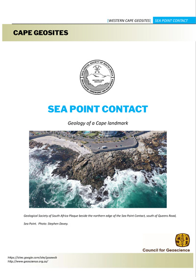
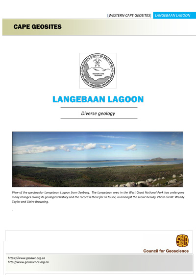
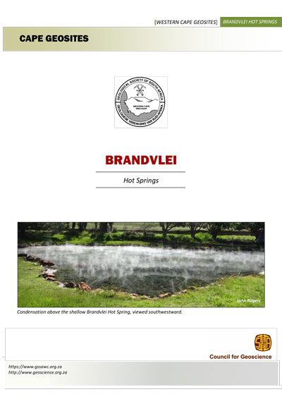
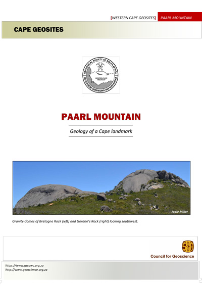
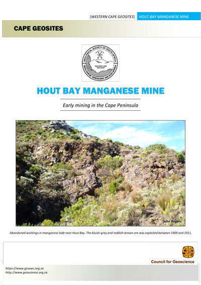
The booklets are part of an educational series that was compiled by the Geoheritage Group of the Western Cape Branch of the Geological Society of South Africa and are downloadable free of charge from this website. Descriptive plaques were placed at most of these sites during a programme sponsored by SANLAM in the 1990s.
Click on a site to download its booklet.
Posters

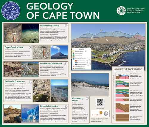
Geology of Cape Town Poster
This poster describes the geology of Cape Town. The content is drawn from the booklet on Table Mountain (see above) and was created for the installation in the Green Point Urban Park.
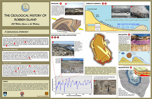
Robben Island Poster
This poster describing the geology of Robben island landmass and surrounding seafloor was compiled jointly by members of the Geoheritage Committee and the Council for Geoscience personnel. Detailed credits are included on the poster.


